This interactive map allows users to view inventory details of the Alaska GMC sample repository. See citation details.
This interactive map displays our current (and ever-changing) collection of geologically interesting photos in and around Alaska. See citation details.
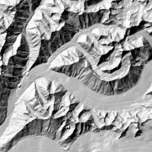
This interactive map displays known public-domain elevation datasets in Alaska. See citation details.
The Alaska Elevation Data Status Web App shows the status and metadata of both existing and in-production elevation datasets in Alaska.
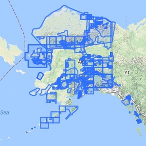
Map Index provides outlines of DGGS and USGS geology-related maps of Alaska. See citation details.
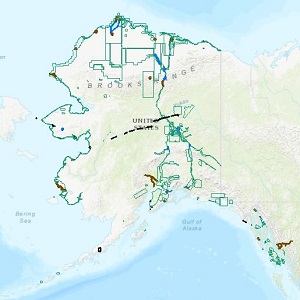
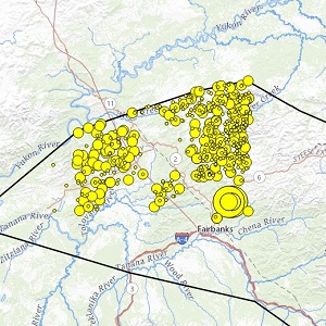
This interactive map displays locations and relative activity of Alaska's faults and folds. See citation details.
This tool enables access to beach elevation profile measurements collected in Alaska since the 1960's. See citation details.
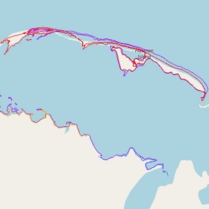
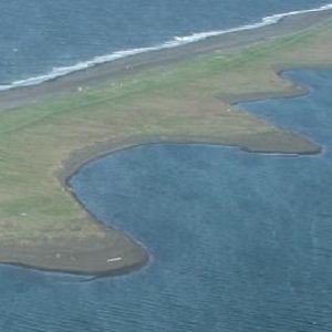
This interactive tool displays historic and predicted shoreline position throughout Alaska. See citation details.
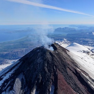
This interactive map displays the location of historically active volcanoes of Alaska. See citation details.
AGDI includes information about industry reports and maps, field notes, drill logs, and other unpublished geology-related data. See citation details.
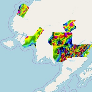
This interactive map displays the geophysical survey boundaries, survey grid rasters, and other related survey data. See citation details.
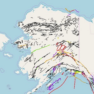
This interactive tool displays tsunami inundation maps in Alaska. See citation details.
This interactive tool provides Alaska geochemical data from multiple published sources. See citation details.
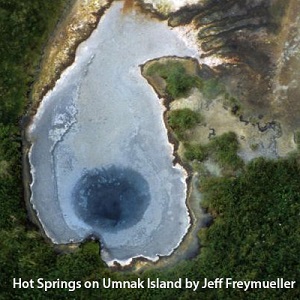
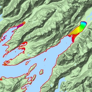
This interactive map provides comprehensive information on thermal springs, including temperature and flow rates, direct use, aqueous spring chemistry, physical samples, volcanic vents, geothermal wells, and borehole temperature data. See citation details.
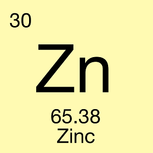
This online map presents a visualization of elements of economic interest for Alaska stream sediment samples.
An online index of published palynology literature and images compiled by Alaskan palynologist Robert Ravn. See citation details.