Burns, L.E., Graham, G.R.C., Barefoot, J.D., American Copper & Nickel Company, Inc., Geoterrex-Dighem, and WGM, Inc., 2020, Hetta electromagnetic and magnetic airborne geophysical survey data compilation: Alaska Division of Geological & Geophysical Surveys Geophysical Report 2020-8, 16 p. https://doi.org/10.14509/30433
 Report Information
 Geospatial & Analytical Data
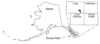
Aeromagnetic; Aeromagnetic Data; Aeromagnetic Map; Aeromagnetic Survey; Airborne Geophysical Survey; Analytic Signal; Apparent Resistivity Data; Apparent Resistivity Map; Apparent Resistivity Survey; Beaver Creek; Billie Mountain; Bully Boy Creek; Cholmondeley Sound; Clarence Strait; Conductivity Survey; Copper Harbor; Copper Mountain; Corbin Mine; Cordova Bay; Deer Bay; Dell Island; Dolomi Bay; Dolomi Mountain; Eek Lake; Electromagnetic Data; Electromagnetic Survey; Exploration; First Vertical Derivative; Frequency Domain Electromagnetic Data; Geologic; Geology; Geophysical Map; Geophysical Survey; Geophysics; Geophysics Search Tag; Golden Fleece Mine; Gould Island; Gould Passage; Gridded Data; Halibut Creek; Hetta Creek; Hetta Inlet; Hetta Lake; Hetta Mountain; Hydaburg River; James Lake; John Creek; Jumbo Creek; Jumbo Island; Ketchikan Mining District; Lake Josephine; Lake Marge; Lake Mellen; Lake Williams; Line Data; Magnetic Data; Magnetic Survey; Magnetics; Mount Jumbo; Mud Bay; Natzuhini Bay; Nutkwa Falls; Paul Lake; Perry Creek; Port Johnson; Portage Bay; Remote Sensing; Resistivity; Resistivity Survey; Reynolds Creek; Southeast Alaska; Sulzer Passage; Summit Lake; Wright Creek; geoscientificInformation


